| Name of walk | High Crag & High Stile |
| Date of walk | 2019-05-15 |
| Distance walked (miles) | 7 |
| Duration of walk | 7 hours 5 minutes |
| Weather | Blue skies and sunshine and very hot. |
| Peaks on walk | High Crag and High Stile |
| Walked with | On own |
| Parking | Gatesgarth |
On Wednesday Brendan and I drove over the Honister Pass to Gatesgarth, by Buttermere. Only £4 to park all day. Brendan would walk around the lake and I would go up to Seat, High Crag (2441ft) and High Stile (2648ft), returning back the same way. A walk of 7.4 miles. We set off walking just after nine o’clock, it was already very warm. No fleeces or coats needed.

The view from Gatesgarth Farm to Seat on the left and High Crag on the right.

Warnscale Beck from Peggy's Bridge.

Brendan and I part company at this point as he heads around Buttermere in the direction of the pub.

Passing the bluebells. Haystacks on the right.

Looking across to Robinson. It is very hot, with not a breath of wind, making the climb harder than it is.

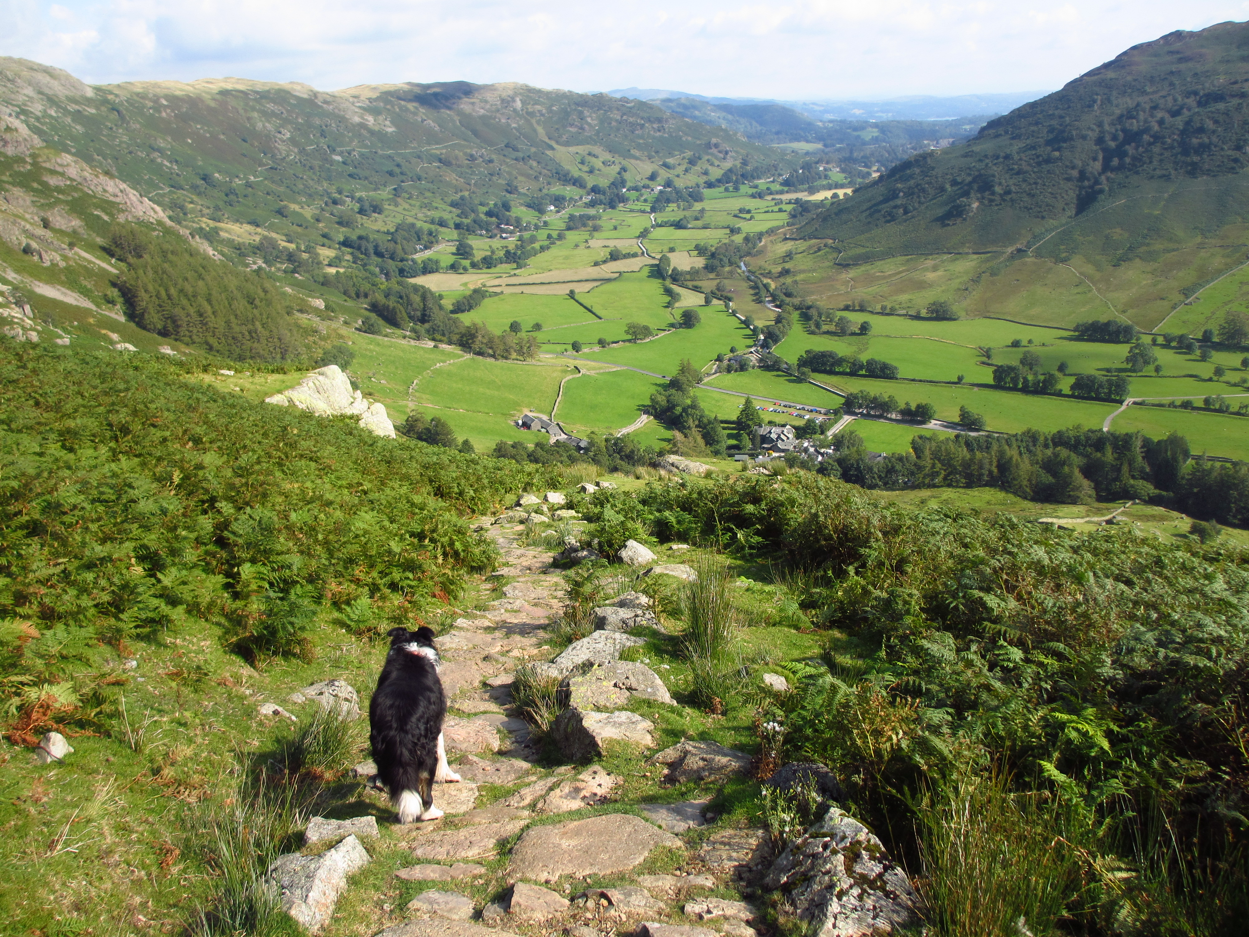
Walking through rocky Scarth Gap Pass.

View back to High Crag, but to reach it I must first get to the top of the pass and climb over Seat

The view of the route up Seat. There is a very tiny person towards the top of the diagonal path.

View back down from the top of Seat.

I've now descended the other side of Seat and need to go up here! It is called Gamlin End. Ennerdale Water on the left. There is a pitched, zig zag path for three quarters of the way up, then you have to ascend the scree.

View back to Seat, with Haystacks beyond as I trudge up the zig zags. It is really hot with no air movement.

I have got to the end of the pitched path and now head up the scree.

High Crag summit with High Stile a mile in the distance.

View to Ennerdale Water.

View into Ennerdale. Great Gable, Kirk Fell, and nearest to my right, Pillar.

Close up of Ennerdale Water. The River Liza looks dry.

The walk to High Stile is up and down, I keep to the Buttermere Edge. I can now see Buttermere and Crummock Water.

Views to Skiddaw, right at the back.

Burtness Comb on High Stile and a large group on the top. I head up there.

High Stile summit. Finally there is a hint of a breeze!

The view from the far edge as I look down on Bleaberry Tarn and along Crummock Water.

Selfie.

Looking over to Red Pike.

I head for the end of the fell. Looking down on Gatesgarth and the Honister Pass which I drove down this morning. Fleetwith Pike on the right.

The views down on Buttermere Village and over to Grasmoor.

Close up view down to Buttermere Village. I wonder if Brendan is still in the pub?

This is my view while I have some lunch. I have a good view of the eroded scree run on Red Pike. This is why I am turning around and going back the way I came. I have been down it before when I had two good knees, and it wasn't enjoyable!


I head around the edge and return back the way I'd come.

Some interesting geology.

Distinct layering in very large blocks, just for Lucy Fryer! (Pink wafer biscuits, if I'm not mistaken!)

I head down from High Stile and would need to re climb High Crag.

Back on High Crag, looking down on Seat, just about to get to the scree run. Much more awkward in descent.

I can see Black Sail Hut in the Ennerdale Valley.

I get down from High Crag unscathed and climb back over Seat. Haystacks ahead as I work my way back down to the Scarth Gap Pass.

Now back on easier terrain.

View up Warnscale.

Bluebells and Fleetwith Pike.


Brendan is waiting at the gate.

I have a rest on a memorial seat before we head back to the car.


Baaaa!

Last look at Fleetwith Pike as we head back through the farm.
The 7.4 mile walk took me just over seven hours, it was slow going in the heat, but contained nothing too awkward. On the way home we stopped at the Mary Mount Hotel for a drink, then for a meal at the 17th century Kings Head Inn, at the foot of Helvellyn. An excellent day!
Jo.