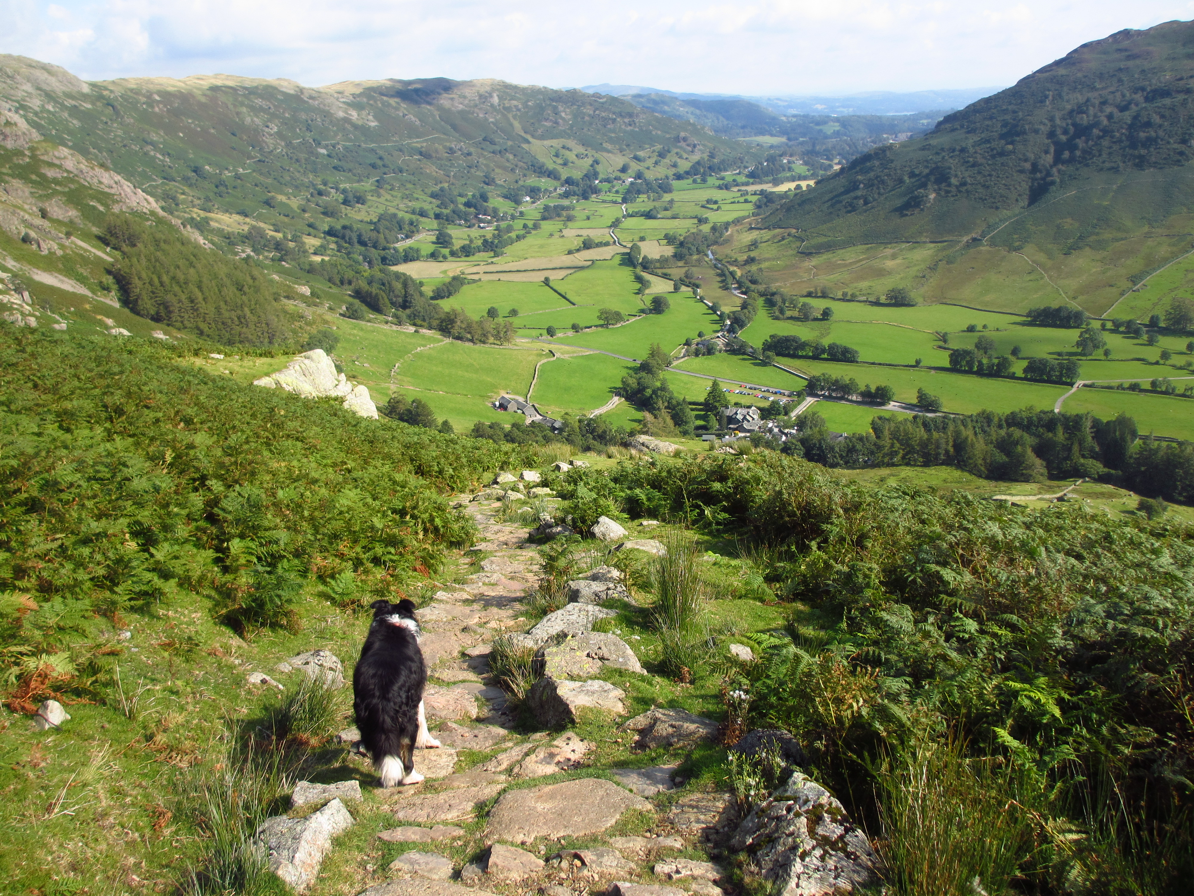
| Name of walk | Ullscarf via Harrop Tarn and Blea Tarn |
| Date of walk | 2015-06-30 |
| Distance walked (miles) | 10 |
| Duration of walk | 7 hours 5 minutes |
| Weather | Hot and sunny |
| Peaks on walk | Ullscarf |
| Walked with | Ged and blind Kas |
| Parking | Dob Gill car park, Thirlmere. |
Work and weekend wedding bell ringing has kept me off the fells recently, but I have now finished work for the summer. As Tuesday was the start of the heatwave, I decided on a walk away from the crowds which could include some wild swimming. Ged, Kas and I drove to Dob Gill car park on the west side of Thirlmere to walk up to Harrop Tarn, then over to Blea Tarn for a swim. We would then gain the Ullscarf ridge and return via the Wythburn Valley. A walk of just over 10 miles. Dob Gill car park used to be free. It would now cost us £7 to park there for the amount of time we needed to complete the walk. Thankfully the ticket machine was out of order!

We head up through the woods beside Dob Gill.

Dob Gill waterfall.

Dob Gill outflow and Harrop Tarn. I cross via the bridge. Ged and Kas use the stepping stones.

Harrop Tarn always has a look of Canada about it. Or is it just me?

The water lilies are not flowering yet.

We head up onto the ridge for the view down Thirlmere.


Then head back down to the tarn.

We pass the tarn and follow the track that eventually takes you to Watendlath.

When Blea Tarn comes into view we head off towards it.

It is at an altitude of just over 1500ft, so it will be very cold.

We head for the far left side by the rocks.

It looks inviting!


Ged is first to get in, his cries of agony are a little off-putting! The water is freezing! The cold burns my feet so that it is actually quite painful to withstand. The rest of me adapts quite quickly, but it is still a relief to get out again! Invigorating!

Time to dry off and have some lunch.

The tarn is very isolated, so ideal for swimming. You can see people from a very long way off, but today we saw not one soul, perfect!

We head up the Coldbarrow Fell ridge. Great views out to Bassenthwaite Lake, Derwent Water and Watendlath Tarn.

View from High Saddle.

The ullscarf ridge has great panoramic views in all directions. Great Gable on the left.

Close up view to Honister Slate Mines, Fleetwith Pike and High Stile and Red Pike.

Looking north to Blencathra.

Our last view back to the tarn before Ullscarf.

Ullscarf summit. There is a cooling breeze up here on the ridge.

We continue along the ridge then down to Greenup Edge for the path down the Wythburn Valley. Route to High Raise ahead.
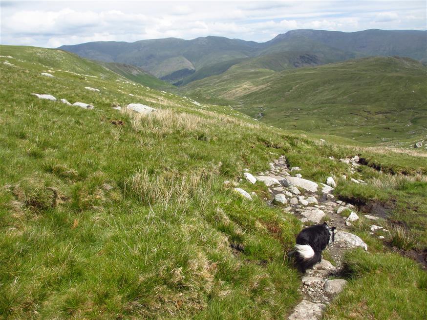
Droping down into the Wythburn Valley.

The valley is about three miles long, winding, wet and muddy with rough stones. It is not easy walking.

We have a short rest before the descent.


Cascades.


Approaching the final bend. It has been very hot in the valley. I drink the last of my water. One litre of water is not really sufficient on a day like this, but there is beck water if I am desperate, but I can last out until I get back to my car.

We cross the bridge and head in the direction of Steel End Farm.

Heading across the fields towards the road.

The bridge, Steel End Farm and the road along the west side of Thirlmere.

At the car park I dump my bag back into my car, grab a can of drink and head down to the shores of Thirlmere to drink it.

Some good views!
This was my first walk down the Wythburn Valley, it is very pretty, but uncomfortable walking and incredibly boggy! Not a descent route I would repeat. A descent via the fell side back to Harrop Tarn would have been easier and shorter. I have been up by this route before and it is undulating but grassy and easy. The walk took us just over seven hours, but that did include the stop for a swim and lunch. I managed to get home just after 6pm, just enough time to shower and change before bell ringing at Dalton. I think I got my exercise today!
Jo.