| Name of walk | Grisedale Pike and Hopegill Head in Snow |
| Date of walk | 2015-01-19 |
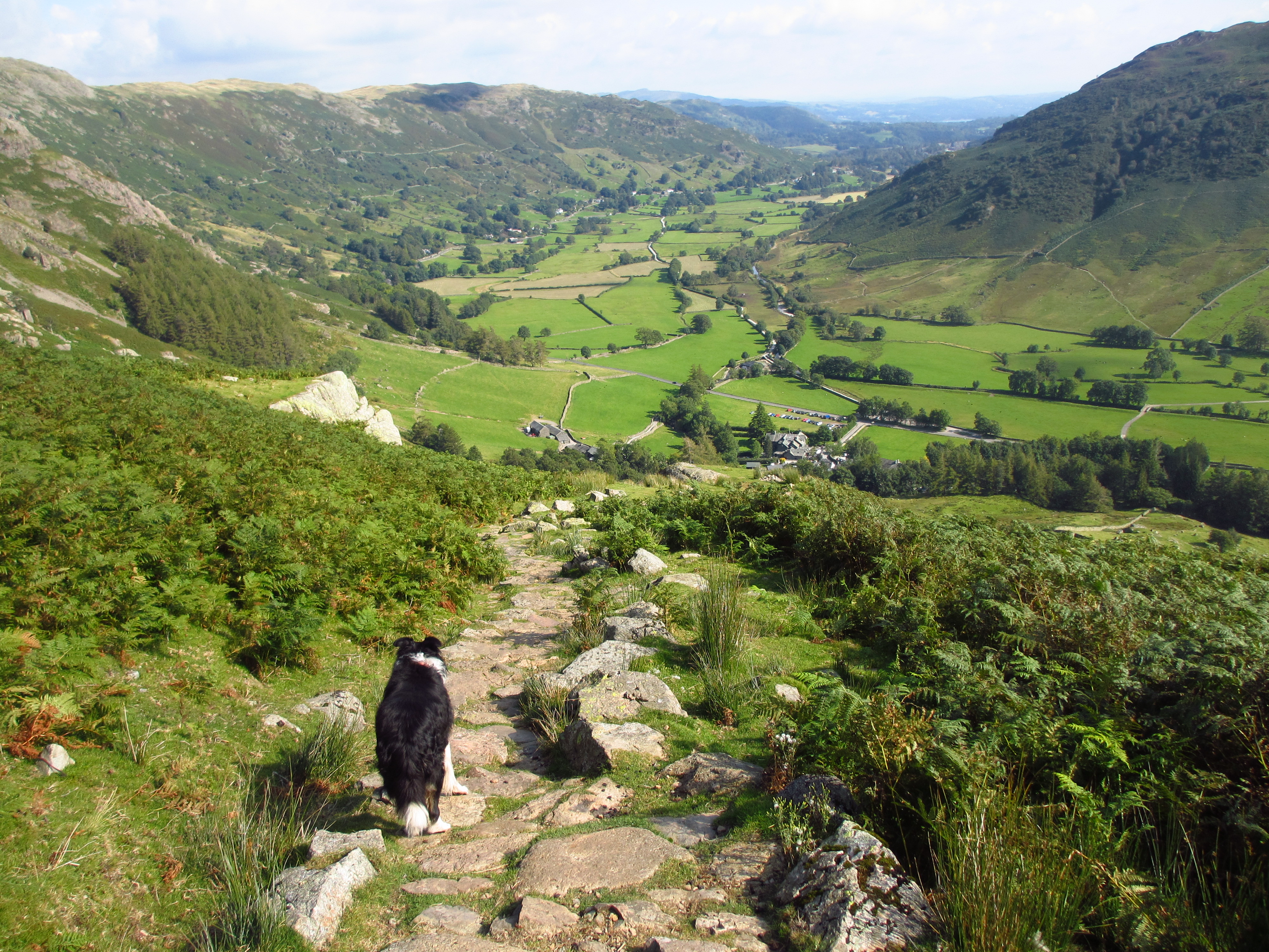
| Distance walked (miles) | 9 |
| Duration of walk | 6 hours 15 minutes |
| Weather | Low cloud, some sunshine, some blue skies. |
| Peaks on walk | Grisedale Pike, Hopegill Head |
| Walked with | Ged and blind Kas |
| Parking | Braithwaite |
After two weeks of working it was about time I got up in some snow! It has been a while since we have done any North Western Fells, so we decided on Grisedale Pike from Braithwaite, then heading for Hopegill Head and over Sand Hill down to Coledale Hause and Force Crag Mine. A walk of nine miles. I parked at Coledale Village Hall as the car park at the start of the walk was covered in ice. We put our Microspikes on right at the start. There have been two deaths, from falls, this week on Helvellyn, so in snow and ice I always chose a familiar route that I know I can’t fall off of, but I’m still suitably equipped to cope with any eventuality. Grisedale Pike has a ridge, but it is a wide one and not exposed, but I would still not attempt it if it was windy.

The cloud on Skiddaw would stay on the tops all day.

We had blue skies at the start, but this was short lived as we gained height.

Grisedale Pike summit on the right.

Looking across Outerside to Causey Pike, Scar Crags, Sail and Crag Hill.

Approaching the top ridge.

View back.

We trudge on.

Sunshine on the ridge.

Blue sky too, but only temporary.

Ged takes this one of me with my ice axe at the ready!

Looking down the ridge towards some other walkers.

A mixture of spindrift and low cloud on the summit making for no views.

Kas and me with Hopegill Head in the distance. Windspeed on the tops was around 16mph, much better than the last few days. The temperature was -4C, -13C with windchill. Too cold to stand around, so off we headed in the direction of Hopegill Head.

Ice formation on an old fence post.

We head down and then up again to Grisedale Pike's subsidiary peak.

Hopegill Head on the right.

As we head down off the subsidiary peak, some of the low cloud begins to clear.

Ladyside Pike on the right.

The cloud is now off Hopegill Head and blue skies make an appearance.

View down towards Whinlatter.

Our route up to Hopegill Head on the right, Sand Hill on the left. Four people ahead give the view some perspective. The snow is quite deep here, so going up through it is quite an effort, but the blue skies spur us on.

Looking back to Grisedale Pike on the left and the subsidiary peak on the right.

Working our way around the top of Hobcarton Crag, keeping well away from the edge.

Another view back to Grisedale Pike, the summit still in cloud.

Ged and Kas approaching the summit.

A view out down Gasgale Gill to Crummock Water, the Whiteside ridge on the right.

I skirt the summit cornice.

As I approach the summit I realise I have about 10 seconds before we are enveloped by cloud moving quickly in from the south. Just enough time to snap the ridge from the summit.

But not as clear as it would have been a few minutes ago.

Looking down to Ladyside Pike as the cloud passes over and obscures all views.

We head up and over Sand Hill. The cloud is clearing on the descent so I take another photo of the Whiteside ridge and Gasgale Gill.

We are heading down to Coledale Hause. The route up to Grasmoor is on the right, we are heading off left.

View back up Sand Hill with its summit in cloud. The walker decending gives some perspective.

View down the Coledale Valley.

View back to Sand Hill and the Whiteside ridge now in blue skies and sunshine....bugger!

We head down the path.

The path then disappeared amongst the snow and we had to skirt a steep diagonal slope before we picked it up again.

Close up of Skiddaw and Blencathra, cloud still on the tops.

The Water Treatment Plant in the bottom of the valley.


Force Crag Mine and the Water Treatment plant.

Today we would have time to detour to the old mine buildings.

View back up, our path down is on the diagonal line on the left.

Force Crag mine was worked for zinc, lead and barytes from 1835 to 1991 and was the last working mine in the Lake District. The mine is a major source of metal pollution in Coledale Beck, resulting in high levels of metals including zinc, lead, cadmium and copper entering the stream. The new Water Treatment Plant is a pilot scheme aiming to filter out the metals.

Force Crag Mine is now designated a SSSI (Site of Special Scientific Interest), and the National Trust open it on special days for guided tours.

Looking up to Force Crag and Low Force.

The Grizzly Hopper where the ore is crushed. After a quick look around we head off down the long Coledale Valley path. Not much sun gets here so the path was ice covered all the way.

View along the icy path back down the valley.
The walk took us six hours and 15 minutes. It was cold on the tops, but fine provided you keep moving. There is a lot of ascent to work up a sweat! Non-compacted snow made some of the ascents hard work, but the descents were easy! An excellent day!
Jo.