| Name of walk | Hopegill Head & Whiteside |
| Date of walk | 2021-04-06 |
On Tuesday Ged and I parked at Lanthwaite Green car park to walk up Gasgale Gill to Coledale Hause, and then on to Hopegill Head and back along the Whiteside ridge. A walk of about six miles. The weather was going to be cold and windy with snow and hail forecast, so I was back in winter trousers, my winter coat, a long sleeved merino wool base layer under my fleece, and two pairs of gloves. Not forgetting my woolly hat that is visible from space!

Whiteside and Whin Ben, our route back, seen from the car park.

We cross the bridge and turn right for Gasgale Gill. Whin Ben ahead.

Beside the gill. There are a couple of rock steps to climb, but you can miss these out by taking a divergent path that goes above them.

View back.


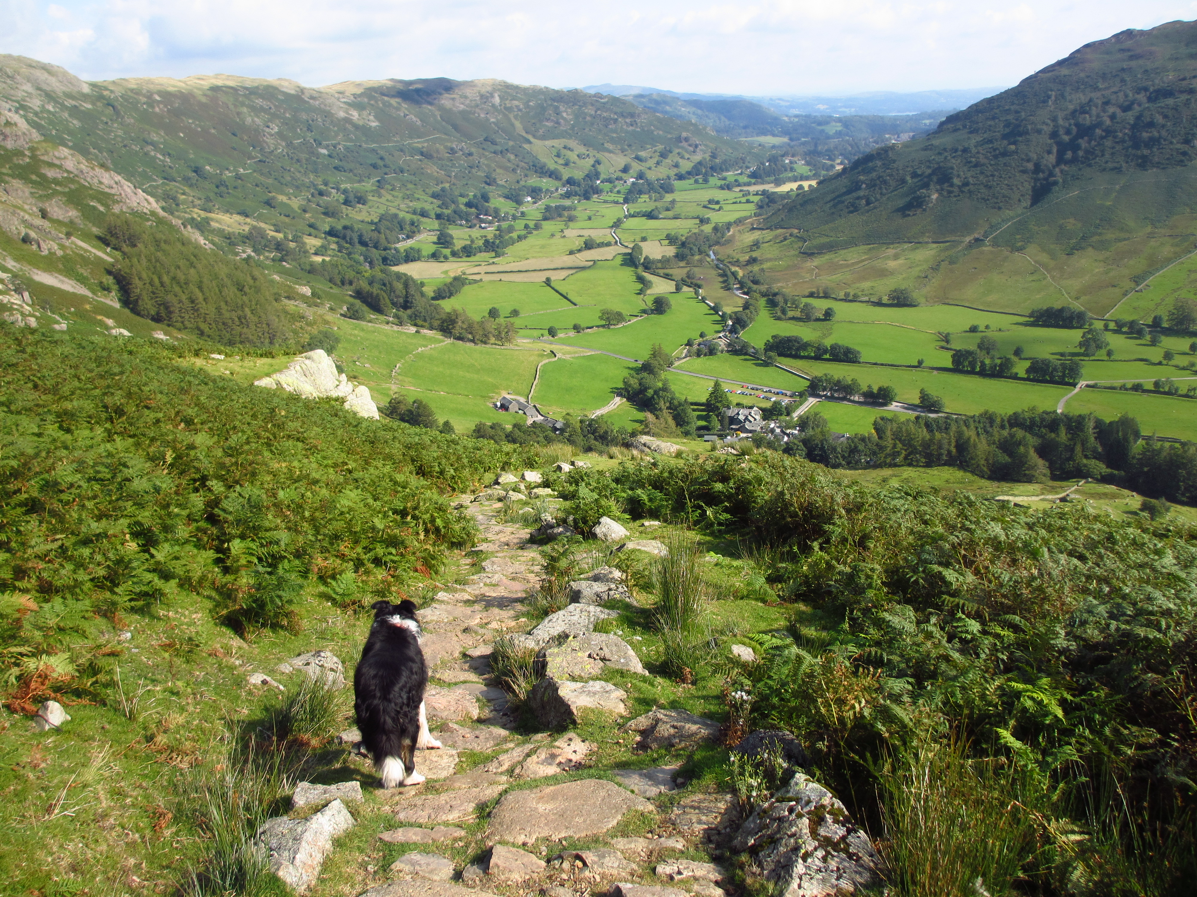
The route ahead which curves around to the right.

Ged in the distance.

We pass lots of cascades.

The climb up is gradual.

Unfortunately all photos forward are against the light.


Last stretch.

Lots of ice on the upper path.

Shafts of light bathe the waterfalls.


Almost at Coledale Hause.

View up to Sand Hill.

The view to Eel Crag (Crag Fell) from Coledale Hause.

View down Coledale to Braithwaite.

Coledale Beck.

Outerside and Causey Pike.

View back to Eel Crag and Grasmoor from Sand Hill.

Panorama from Grisedale Pike to Grasmoor. Left click to enlarge, click again to return.

Crummock Water with Whiteside on the right.

I head over to the north edge to get the view to Grisedale Pike.

Panorama down the Hobcarton Gill Valley. Ladyside Pike on the left, Grisedale Pike on the right. Left click to enlarge, click again to return.

View down Ladyside Pike from Hopegill Head summit.

View along the Whiteside ridge.

Summit selfie. It was very cold and windy today. It had just started to snow as we arrived.

View back to Sand Hill. Very few people up here today.

Summit panorama. Left click to enlarge, click again to return.

We have lunch just off the summit out of the wind. I try out my selfie stick that my son Tom got me for Christmas.

Selfie of the ridge route to Whiteside.

Views over to Criffel in Scotland today.

We make a start on the ridge, Gasgale Gill on our left.

Some hail is coming our way!

Where we were this morning.

The hail is cutting! Thankfully it is coming from the north and we are heading west, so it is not in our faces. The wind is freezing. My hands are going numb, so I swap my touchscreen gloves for my thermal ones. My hands warm back up almost immediately.

Looking back to Hopegill Head.

We take the side path which is not so exposed and we don't risk being blown off.

The hail has stopped. Hopegill Head in the middle. I've done this ridge before in mist, snow and now hail!

Another look down into Gasgale Gill.

As Ged approaches Whiteside summit we look back at our route from the top of Gasgale Gill on the right. Heading left up to Sand Hill, then Hopegill Head and the Whiteside ridge. Beauty!

The small summit cairn of Whiteside.


Another look down to Gasgale Gill.

Crummock Water with Mellbreak behind. Grasmoor left.

Closer view of Mellbreak.

Loweswater.

A final look down the route we took this morning.

Still a way to go to get down. The route down to Whin Ben is scree and loose rock so it makes for an awkward and long descent.

Looking back up.

View back to Whiteside.

This heather walk is lovely in August.

I can now see my car in the car park, and the bridge.

View over to Blake Fell and Burnbank Fell.

We recross the bridge and head back to the car.

Grasmoor from the bridge. The walk was 5.7 miles and took four and a half hours.

We returned via Crummock Water and Buttermere. The roads were very quiet. We found a parking spot and walked down to the lake. Haystacks where I went on my last walk.

High Stile and Red Pike.

Fleetwith Pike and Haystacks.

We head home over Honister Pass.
Despite the cold and the hail it was an excellent walk with some wonderful views!
Jo.