| Name of walk | Potter Fell & Tarns |
| Date of walk | 2020-10-01 |
The weather wasn’t too bad on Thursday, sunshine and showers, so Ged and I drove to the back road between Staveley and Bowston. We were going to walk the Wainwright Outlying Fell route up to Potter Fell. This includes Potter Tarn, Brunt Knott, Ulgraves and Gurnal Dubs. A walk of eight miles. Friend, Sue, had been up recently and sent me Chris Jesty’s revised route which meant we wouldn’t fall foul of having to climb walls, which was most useful! Jesty’s route was followed until Gurnal Dubs.

We park in the spaces just before the road up to Spring Hag.

The small waterfall opposite Side House.

Side House.

We turn right at the sign....which is unreadable but says Potter Tarn.

Mist in the valley.

Sheep silhouette.

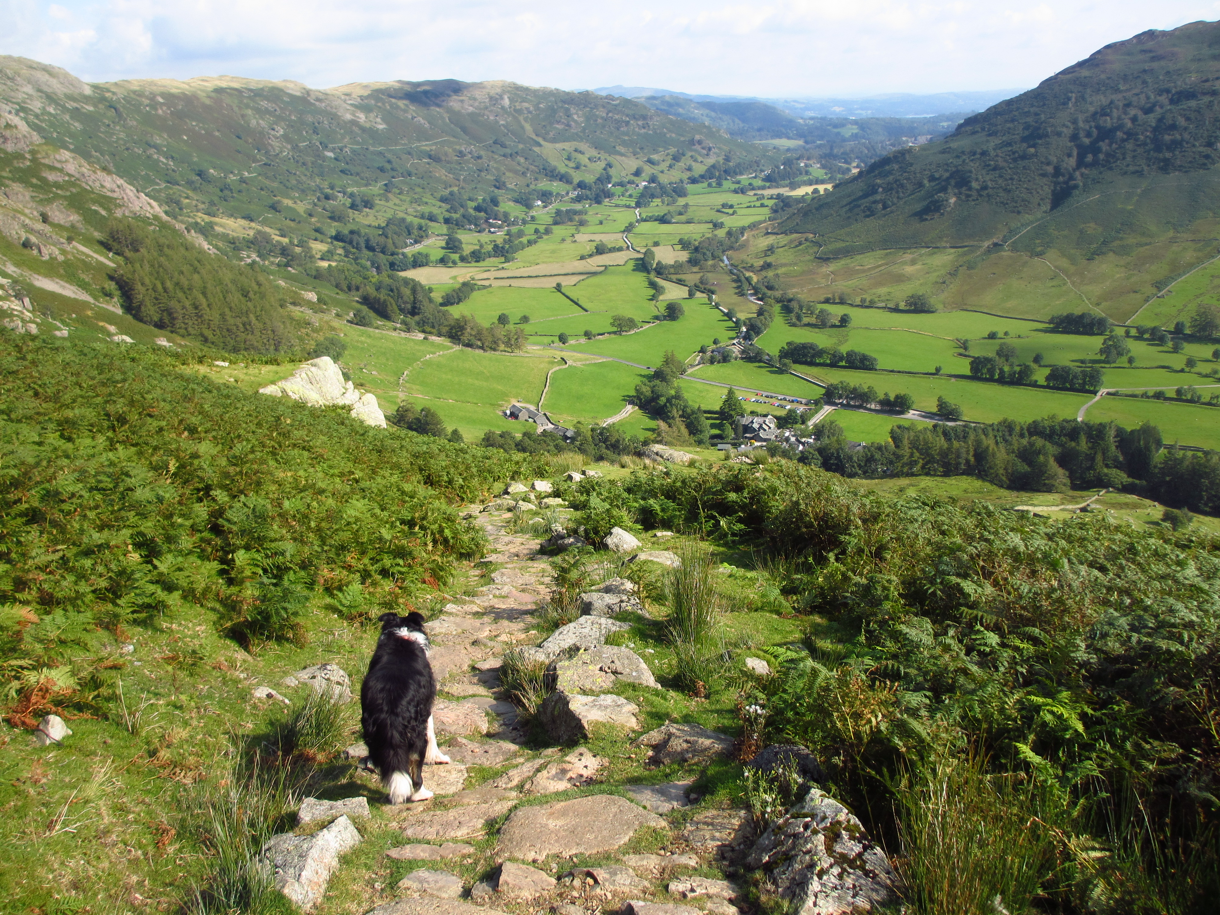
View back.

Potter Tarn with reflections of sheep.


Panorama of Potter Tarn. Left click to enlarge, click again to return.

Against the light photo towards the dam.

Ged can't resist walking where he shouldn't!

I gain the walkway for the view down the tarn. Two brave souls are getting ready to swim. Brrrr!

The dam wall looks none too stable.

The mist has reached the tarn.

We head over the wall stile and off left on a narrow path not far from the wall.

The route up to the nameless summit.

There is a depression before the ascent up to Brunt Knott, the highest point on Potter Fell.


Yoke, Ill Bell, Froswick, Thornthwaite Crag, Mardale Ill Bell, Harter Fell, Kentmere Pike and Shipman Knotts (Kentmere Horseshoe) can be seen on the right of the Trig Point.

Our route to Ulgraves.

We take the stile on the left, and walk on the path beside the wall. This section is long and there are a few ups and downs.

Heading towards the other nameless summit which is on the other side of the wall, so we ignore it. We have a short shower of fine rain for a few minutes.


Finally we have Ulgraves in sight. We go through the gate after the final cross wall.

Ulgraves summit with Longsleddale on the left.

A super view! Left click to enlarge, click again to return.

Longsleddale and the Gatesgarth pass in close up.

Our lunch spot facing the view.

The clouds are looking ominous so we continue on.

How to build a stone wall at all angles! Those pesky sheep shall not pass!

An overgrown Middle Taggleshaw.

Gurnal Dubs and the boat house. Here we go off route and take the long way around.

The light was better for photographing the boat house with some blue sky.


Panorama of Gurnal Dubs. Left click to enlarge, click again to return. Both this tarn Potter Tarn and Ghyll Pool (seen later) were used as reservoirs to supply the paper mill at Burneside.

We head up behind the boathouse to the stile, where we return to the dam of Potter Tarn.

Cows on the right.

At the dam we follow the grassy track downhill.

Ghyll Pool on the left.


The dam outflow of Ghyll Pool.


We continue downhill.

The stream below us.

We take a right turn where the paths diverge.

The barn at Low Hundhowe.

We meet a territorial Jack Russell who escorted us off his property. We walked down the lane to the road, turning right back to my car.

We then took a detour down to the River Kent at Beckmickle Ing. The Dales Way follows the other side of the river.
Despite the rain yesterday, the ground was not too wet. It was quite easy walking, but I’d not want to walk this route in low visibility. The 8.3 mile walk took us five hours and fifty minutes, but we had lengthy stops at both tarns and a stop for lunch, then a detour down to the River Kent. Thankfully the weather was kind for most of the day so it was a very enjoyable walk.
Jo.