| Name of walk | Sallows, Sour Howes and Two Reservoirs |
| Date of walk | 2015-09-22 |
| Distance walked (miles) | 12 |
| Duration of walk | 6 hours 20 minutes |
| Weather | Sunny intervals |
| Peaks on walk | Sallows andSour Howes |
| Walked with | Ged and blind Kas |
| Parking | Road next to Troutbeck Church |
On Tuesday Ged, Kas and I drove to Troutbeck Church in order to climb two of the smaller Wainwrights, Sallows (1691ft) and Sour Howes (1584ft), then for extra interest to continue on to Dubbs Reservoir and Borrans Reservoir. A walk of just under 12 miles. The weather was sunny and in the sunshine it was quite warm, but chilly in the shade.

Jesus Church Troutbeck.

The sheep were still asleep.

First view to Stony Cove Pike, Froswick, Ill Bell and Yoke from the Garburn Pass.

Troutbeck Tongue on the left.


Looking back on Troutbeck and Windermere.

I am stood next to the stile for the track that leads up to Sallows. Through the gate is the continuation of the Garburn Pass into Kentmere, and the route up to Yoke. There was a great temptation to continue on to the larger fells, but we resisted.

Heading up the grass.

My shadow taking a photo looking back.

Ged catching me up.

On Sallows summit looking over towards Windermere and Sour Howes.

Shipman Knotts, the far end of the Kentmere Horseshoe.

The first part of the Kentmere Horseshoe.
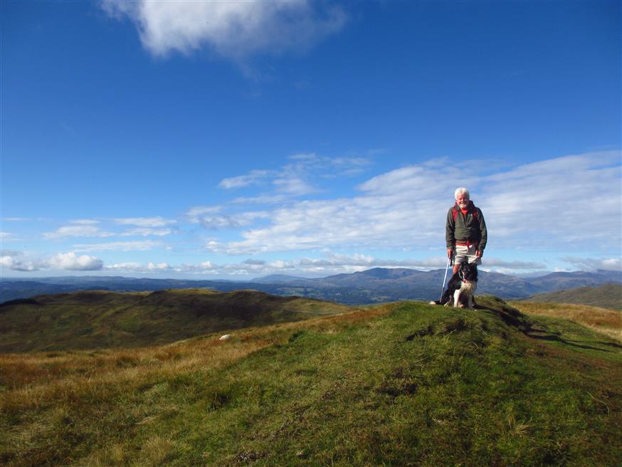
Ged and Kas on the summit, which is just a little lump. There used to be a few stones in a pile to indicate the summit, but there is nothing there today.

One man and his dog.

View down into the Kentmere Valley.

Me on the summit in my Kerry shirt. The All Ireland Gaelic Football final between Dublin and Kerry was on Sky TV on Sunday afternoon. Dublin fans, Cassie and Paul came round to watch the game so naturally I wore my Kerry shirt. (I haven't worn it since Kerry beat Mayo in last year's semi-final replay, which we went to). Unfortunately Kerry lost this Final 12-8. Magnanimously we still let them stay for dinner!

The route around to Sour Howes. Basically just follow the wall.

Red Screes.

Soon we cross over a stile to the other side of the wall.

The grassy view back. This is a very easy walk!

You do get surprisingly good views out.

Kas is the first to make the summit. Those few stones behind his nose are all that indicates the summit.

View down Windermere.


We are making our way down to the lane that leads to Dubbs Reservoir, below.


Looking down Backstone Barrow.


View back to the hills.
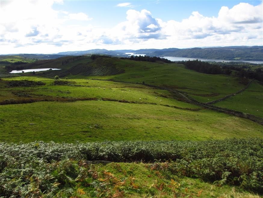
Dubbs Road is in between the two walls. There is a gate.

Dubbs Reservoir is private. We take a look from the field.


Back on Dubbs Road.

On Moorhowe Road heading for the turn off to High Borrans. Some good views out.

Now we head for Borrans Reservoir which is just opposite an Outdoor Education Centre.

The dam wall of the reservoir.


Lunch spot!

We have a leisurely lunch sitting on the seat in the sun. As we are getting ready to go we hear the sound of children. We soon meet a group in life jackets carrying oars, so we have timed our departure rather well!

We head back.

We continue back along Moorhowe Road and turn off right down Longmire Road, which soon becomes the track that re-meets the Garburn Pass.

Some great views out. Crinkle Crags etc.

Longmire Road.

More views back to the hills.

Back on the Garburn Pass. These two dogs were not impressed that they were enclosed and Kas was roaming about. One was called Joe.

Back at the church. The clock has stopped! This walk has taken more than 30 minutes!
The walk took us six hours and twenty minutes. This was one of David Hall’s walks that he did in May. I have been saving it for a nice day and for when I needed to be back home at a reasonable time, and felt like an easy walk for a change! http://www.walkthefells.net/PAGES/WALKS/20150516_ID_1496.html
Jo.


