| Name of walk | Full Swindale Round |
| Date of walk | 2010-06-02 |
| Distance walked (miles) | 13 |
| Duration of walk | 8 hours 0 minutes |
| Weather | Blue skies and sunshine |
| Peaks on walk | Selside Pike, Branstree, Tarn Crag, Grey Crag |
| Walked with | Ged and blind Kas |
| Parking | Roadside just outside Swindale. |

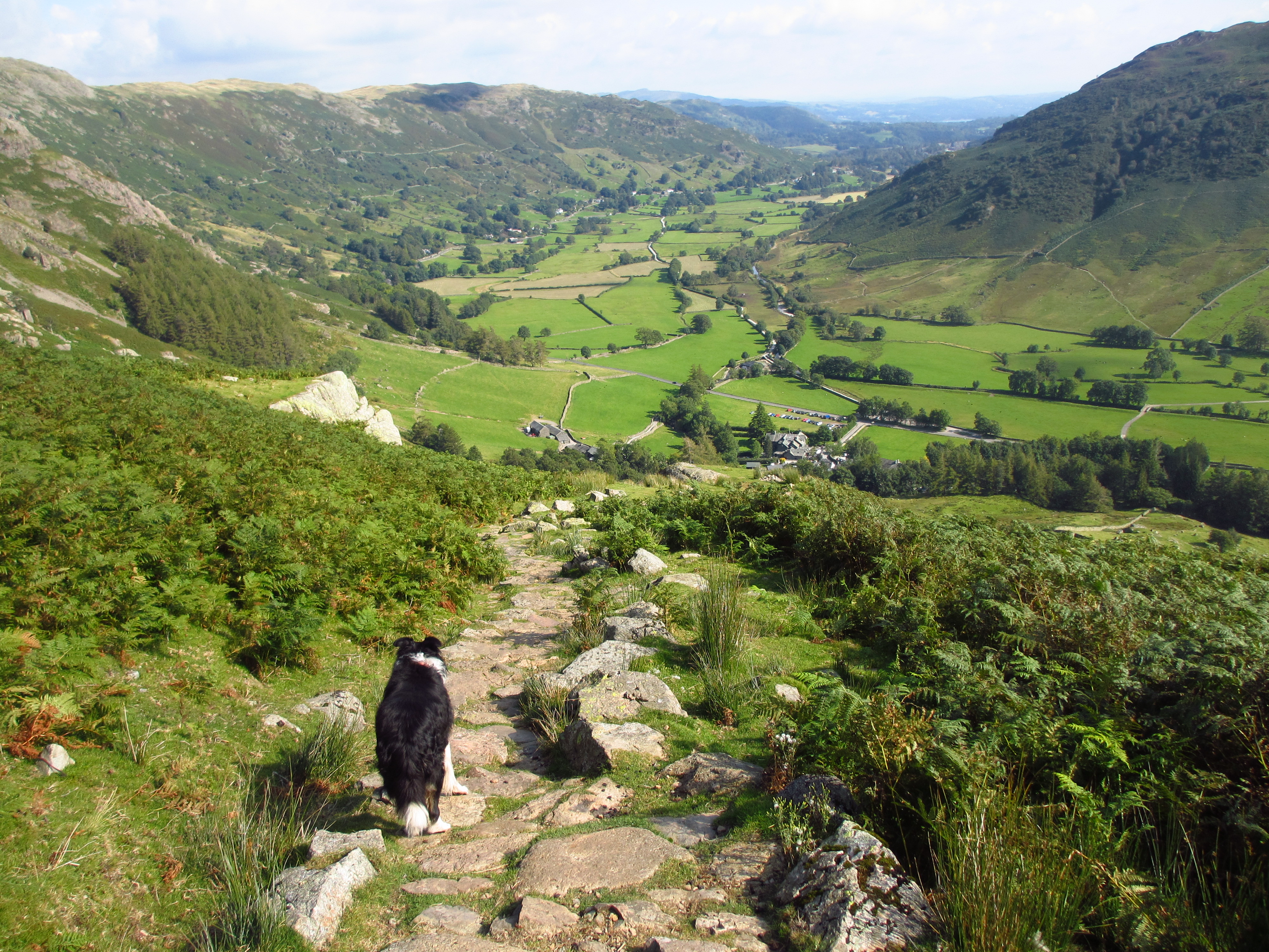
Looking down to Swindale Head.

and again.


So cute!

Don't miss the sign!

To reach Selside Pike we had to walk up The Old Corpse Road that leads over into Mardale. It is the route that Mardale`s dead were taken by horseback for burial at Shap. The last such jouney was made in 1736

Looking across to Riggindale, High St. and Kidsty Pike with a bit of Haweswater peeking out.

Selside Pike summit shelter.

Haweswater.

The cairns on Artle Crag, we stopped here for lunch.

Branstree summit with Selside Pike in the distance.

Kas loves the freedom of grass.

Heading down and then up to Tarn Crag.

Looking back up to Branstree on the right with Harter Fell on the left. The path is the Gatesgarth Pass from Longsleddale to Mardale

Old survey post on Tarn Crag.

Views across Shipman Knotts towards Windermere.

Looking up to Grey Crag.

Looking down into Longsleddale from Grey Crag.

Summit of Grey Crag, my last far eastern hill.

Heading for Harrop Pike.

Cairn on Harrop Pike.

View down the very isolated valley. We had to follow Little Mosedale Beck which snaked round past the trees where it joined with Mosedale Beck. It then snaked round to the right behind the hills on the right and then there should be some waterfalls to find. Still 4.5 miles to go! The ground looks easy walking but it was tussocky and boggy!

A herd of deer on the horizon had spotted us.

Too much camera shake for a good close-up!

Confluence of the waters. Heading for the base of the hills on the right.

Mosedale Waterfalls. Here the valley lost some height and lead down to Swindale Head.


Glacial moraines at Swindale head.